
Computer Vision
Enabling computers and devices to understand what they see.

Publication
TorchGeo: Deep Learning with Geospatial Data
Video
Designing AI Systems with Steerable Long-Term Dynamics
The feedback that users provide through their choices (e.g. clicks, purchases) is one of the most common types of data readily available for training autonomous systems, and it is widely used in online platforms. However,…

Tool
Satellite Imagery Labeling Tool
This is a lightweight web-interface for creating and sharing vector annotations over satellite/aerial imagery scenes.
Microsoft Research Blog
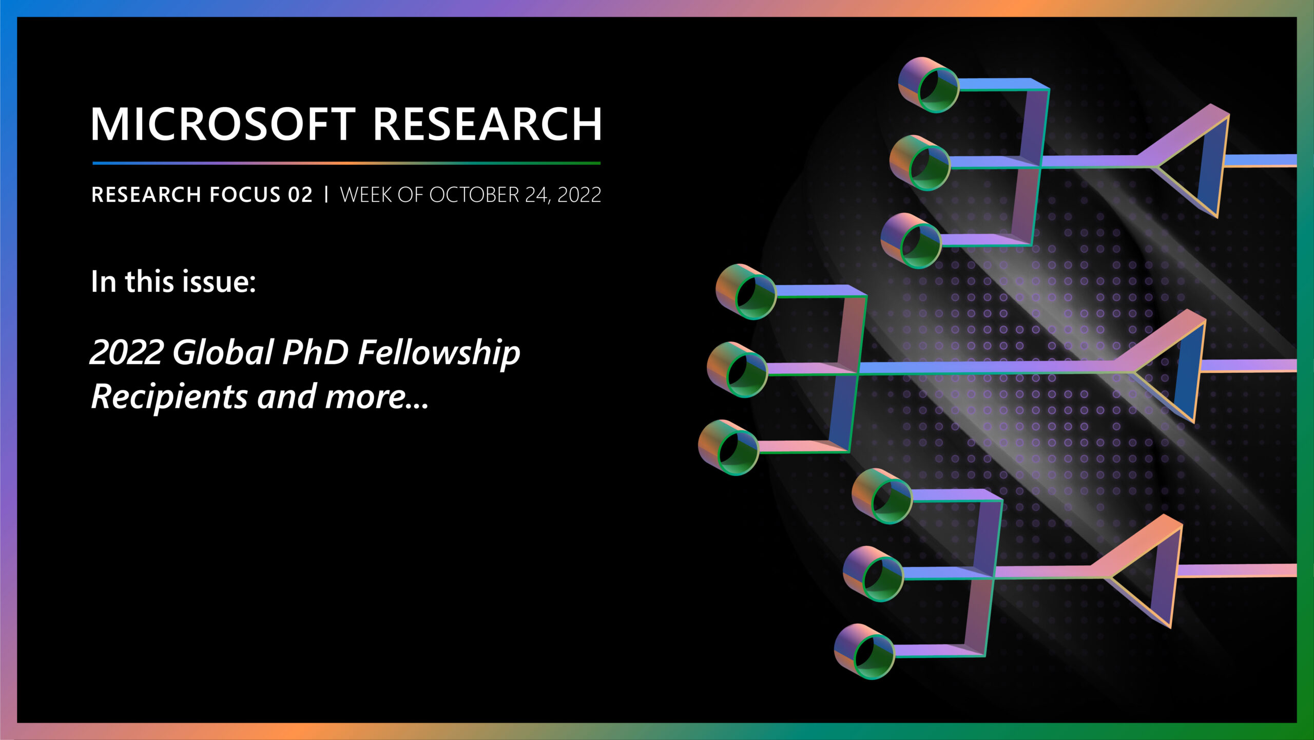
Research Focus: Week of October 24, 2022
Welcome to Research Focus, a new series of blog posts that highlights notable publications, events, code/datasets, new hires and other milestones from across the research community at Microsoft. Microsoft is thrilled to announce the 2022…
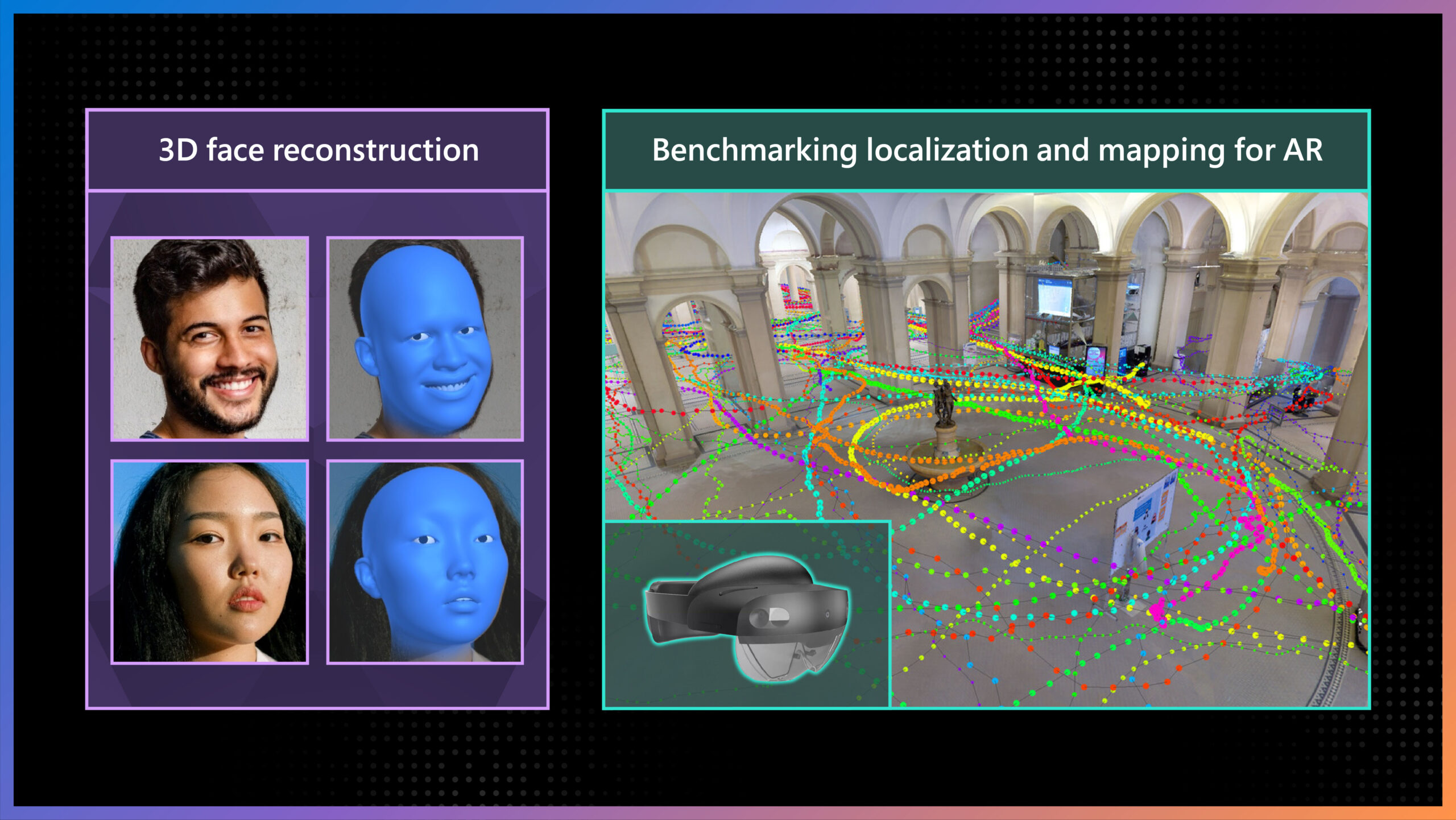
Microsoft Research Blog
ECCV 2022 highlights: Advancing the foundations of mixed reality
Computer vision is one of the most remarkable developments to emerge from the field of computer science. It’s among the most rapidly growing areas in the technology landscape and has the potential to significantly impact…